Modern, Easy to Use, Visual, Interactive Civil Engineering and Survey software.


Civil Survey Applications is an Australian based software development company committed to developing cutting-edge software applications for the civil engineering and surveying industry. Our products are developed using industry-standard CAD platforms, Autodesk’s AutoCAD & Civil 3D and Bricsys BricsCAD Pro.

Optimise the design and analysis process
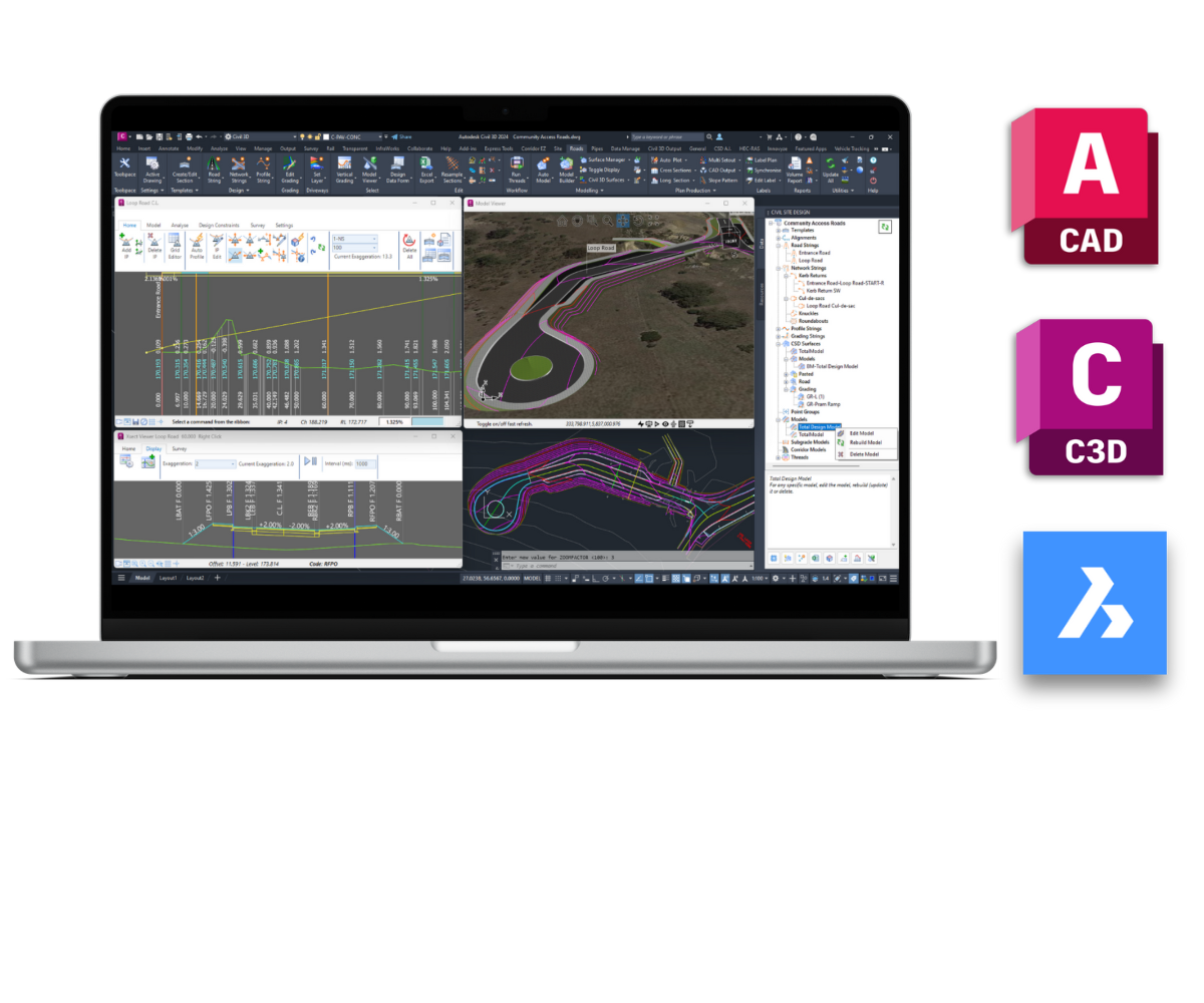
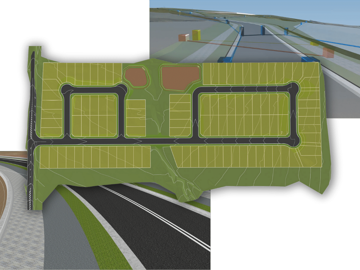
Civil Site Design is a robust civil engineering software application designed to be used with your selected CAD platform. Civil Site Design enables professionals to design, analyse, and optimise various civil projects such as roads, subdivisions, and land development projects. The software offers comprehensive grading, drainage, sewerage, and hydraulic analysis tools.
Civil Site Design integrate with your CAD platform of choice:


Process and analyse topographic survey data and generate accurate digital terrain models
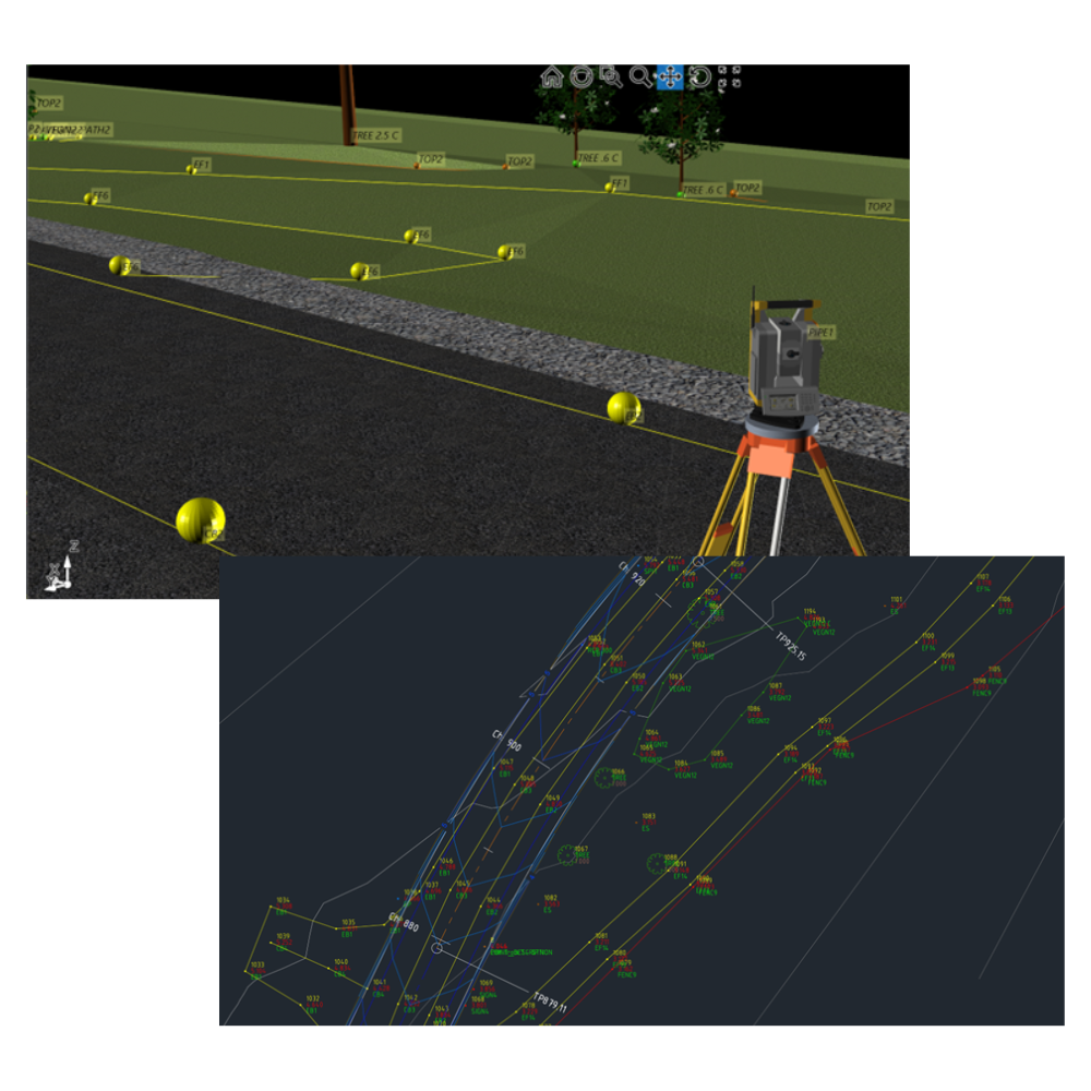
Stringer Topo is a software application designed for surveyors and engineers to process and analyse topographic survey data. The application enables professionals to import, review and edit fieldwork, rapid survey line creation & generate accurate digital terrain models.
Stringer Topo integrates with your CAD platform of choice:


